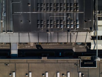
Fault Detection
Detect Anomalies in your Infrastructure Assets

Visual Inspection
High Resolution Imagery and Video of Assets and Subsystems. Unlocking a level of detail previously unattainable.

Heat Anomalies
Detecting Thermal Anomalies in your assets, such as leaks and overheating equipment, early on to save energy and prevent catastrophic failures. Save time, money, and reduce consumption and emissions.

Specialized Fault Detection
Advanced fault detection technology such as Gas, Ultrasonic, Magnetic, Vibration, and Radiation detection enable a whole new tier of asset health data across vast and hard to reach areas.
Asset Mapping
Centimeter-Level Accuracy

Land Surveys
Topographical Mapping of your organizations land for your development projects.

Digital Twin
Create a precise Digital twin to integrate into your operations Building Information Model (BIM)

GIS Integration
Create Geo-mapped Datasets that integrate into your organizations GIS System

Photogrammetry
The big picture is composed of little details.
Create an Orthomosaic Map composed of many high resolution images, overlaying pertinent data needed for your operations continued success and sustainability.

Stockpile Measurements
Quantify and Map your organizations inventory and raw materials. Keep an eye on material movements, ensuring they are in line with your operational plans.
Operations Monitoring
Eyes in the sky watching over your assets.

Progress Monitoring
Monitor progress of construction and maintenance of your assets and other processes in your organization. Tailored status reporting to facilitate stakeholder awareness.

Emissions Monitoring
Keep tabs on your organizations carbon footprint and monitor output of greenhouse gases and VOCs. Track emissions improvement for applications for subsidies and carbon credits.

Surveillance Services
Monitor your assets with Advanced Aerial Surveillance. Deter Theft and Increase Awareness of presence and intrusion on your organizations property.
Monitor your Infrastructure with the best in Drone Technology
This website uses cookies.
We use cookies to analyze website traffic and optimize your website experience. By accepting our use of cookies, your data will be aggregated with all other user data.