Habitat & Vegetation Assessment
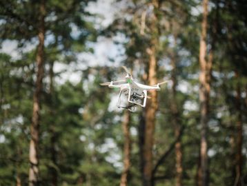
Track entire Ecosystems efficiently with Advanced Aerial Technology

Vegetation Health Monitoring
Using advanced drone technology to assess plant stress, detect disease, and map vigor across forests, wetlands, and grasslands.

Invasive Species Detection
Drones enable rapid, wide-area identification of invasive plants, insects, and animals. Frequent surveys and early detection reduce the spread of invasive species before ecological damage escalates.
Tree & Canopy Inventory
Map tree counts, canopy heights, and species districutions for forests and reforestation zones, Invaluable for carbon tracking, forest certification, and biodiversity planning.
Environmental Change & Impact Monitoring
Centimeter-Level Accuracy

Wetland & Watershed Mapping
Orthomosaic and Elevation models to assess water flow, sedimentation, and vegetation shifts to support habitat protection, land-use planning, and flood risk assessment.

Shoreline & Erosion Monitoring
Aerial surveys to precisely measure shoreline retreat, dune loss, and cliff instability.

Wildlife Survey
Visual and Thermal Imaging enable detailed, non-invasive willife counts and movement analysis. Particularly useful in remote and sesitive habitats where ground surveys are impractical to conduct .
Dronethropic sees Drones as one of the main tools for building a greener tomorrow.